
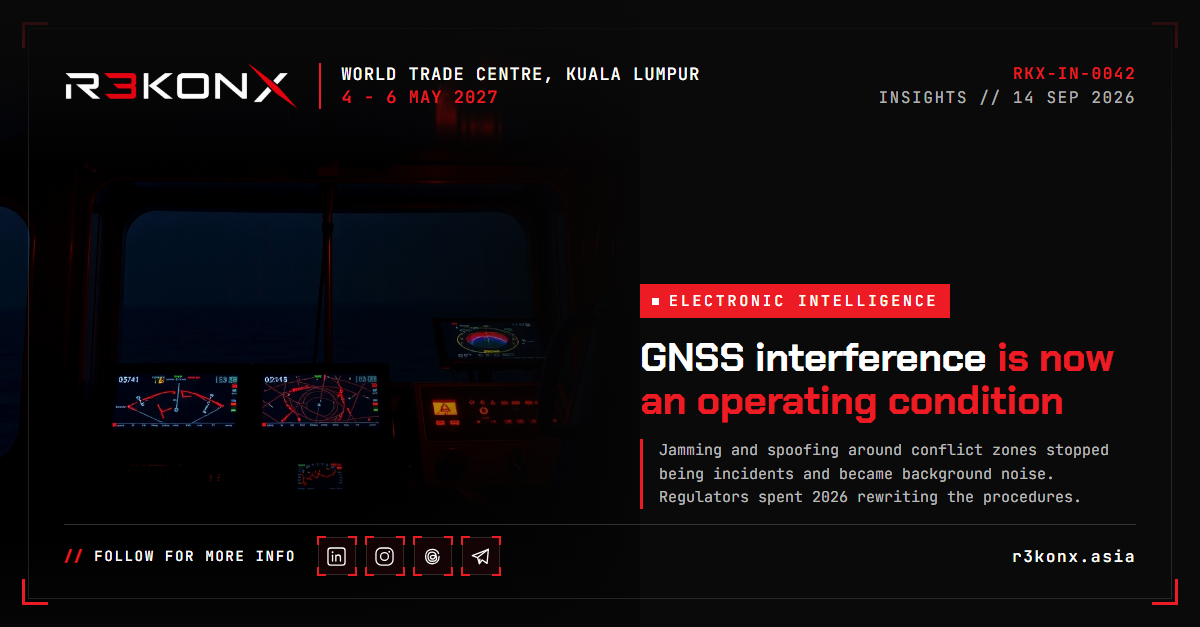
GNSS interference is now an operating condition
Jamming and spoofing around conflict zones stopped being incidents and became background noise. Regulators spent 2026 rewriting the procedures. The collection problem — turning the interference itself into intelligence — is still open.
For most of the satellite navigation era, GNSS interference was an anomaly: something that happened during a military exercise, in a defined block of airspace, for a defined period. That framing is finished. In the published 2026 guidance from both American and European regulators, interference is treated as a standing condition of certain airspace — planned for, briefed, trained against, and reported on, in the way weather is.
What the numbers say
The FAA's GPS and GNSS Interference Resource Guide, version 1.1, records a 65% increase in loss of GNSS per 1,000 flights in 2024 compared with 2023, and concentrates the problem in the eastern Mediterranean, the Black Sea and the Russia–Baltic region. Two figures in that document give the scale at a single point: 5,655 spoofing events reported in the Nicosia FIR, and 3,228 in the Tel Aviv FIR. [1] The guide was published in December 2025 and revised in 2026; the document carries a version date of 12 March 2026, while trade reporting dates the release of v1.1 to April. [1,8]
IATA's own safety risk assessment puts the denominator on it: more than one million GPS signal-loss events across 24.6 million flights between August 2021 and June 2025, with the rate rising from 56.1 to 60.1 events per 1,000 flights between 2024 and the first half of 2025. The same assessment notes that receiver recovery after an event can exceed 30 minutes in a significant number of cases — the aircraft leaves the interference, the avionics do not immediately come back. [2]
European figures describe the same curve. Around 200 flights a day encountered interference in Europe in the first quarter of 2024; by the second quarter that figure was around 900. Across 2021 to 2024, GPS signal-loss events rose 220%. [9] One widely repeated figure — 430,000 jamming incidents in a year — circulates without a traceable originating source, and should not be used in briefings without one. [10] The discipline matters: this is a field where the measurement is as contested as the spectrum.
Jamming and spoofing are not one problem
The FAA's own distinction is the useful one. Jamming is emission that does not mimic GNSS but denies the receiver the ability to acquire and track it. Spoofing is emission of GNSS-like signals that the receiver acquires and tracks instead of the real ones. [1] The first is loud and comparatively easy to detect. The second is quiet and is accepted by the system as truth.
The downstream effects are where the operational risk sits. Spoofed position can drive false terrain warnings, including erroneous pull-up alerts in cruise; it can corrupt inertial system validation, surveillance position reported over ADS-B, and time-dependent functions such as flight management and fuel computation. [5] IATA's assessment extends the consequence chain to collision avoidance and datalink communications, and, in the worst case, to controlled flight into terrain. [2]
What changed in 2026
Three documents define the current regulatory position. EASA and EUROCONTROL published a joint action plan on 26 March 2026, assigning roles across operators, air navigation service providers and manufacturers, with short, mid and longer-term measures and an explicit aim of holding safety while limiting the capacity cost. [3] EASA then issued the fourth revision of Safety Information Bulletin 2022-02R4 on 3 July 2026, adding clearer pilot–controller phraseology, expanded training recommendations, and a larger role for electronic flight bags carrying near-real-time interference maps. [4,9] The FAA guide sets the equivalent American procedure: report in real time to ATC, then file through the FAA's GPS anomaly reporting route, with aircraft type, time, position, phase of flight, receiver make and model and operational consequence. [1]
The industry response is layered positioning rather than a GNSS substitute. Honeywell's alternative navigation architecture fuses vision, magnetic anomaly, LEO satellite and radar terrain-aided navigation; Iridium has an 8mm PNT chip for an independent satellite timing and position source; MITRE has drafted a concept of operations for airports handling disruption events. The same reporting puts jamming up 67% and spoofing reports up 193% between 2024 and 2025. [6] Policy work runs alongside it: an interagency task force for rapid dissemination of interference events, L5 in certified receivers, export relief for controlled reception pattern antennas, and FCC enforcement against illegal jammers — with federal seizures of jamming equipment reported up 830% since 2021. [7]
It does not stop at aviation
Every system that quietly takes time from GPS inherits this problem. Power distribution depends on GNSS-synchronised phase measurement; mobile networks depend on GNSS timing for tower synchronisation; maritime traffic in the Baltic and Black Sea has seen both denial and false position. [10] Survey and drone operators are being told, in as many words, to treat an RTK fix as fallible and to build degraded modes. [9] Galileo's OSNMA signal authentication went operational in July 2025 and gives civil receivers a cryptographic check on whether the signal is genuine — a control that only helps organisations that know whether their receivers support it. [9]
The collection problem, which is the interesting part
Treated only as a hazard, interference is something to be avoided. Treated as an emitter, it is a persistent, repeatable, geolocatable signal of intent — which is what makes this an electronic intelligence problem and not only a safety one. Three lines of work follow from the published material:
- Receiver-level detection. Carrier-to-noise ratio collapse, automatic gain control behaviour, implausible doppler and clock jumps, and OSNMA authentication failures separate denial from deception at the receiver, before the navigation solution is trusted. [5,9]
- Airspace-level correlation. ADS-B position quality degradation, NOTAM history and the reporting streams the regulators have now standardised make it possible to map an interference source's footprint over time rather than one flight at a time. [1,2]
- Emitter characterisation and geolocation. A source that runs for months, from a fixed area, with a repeatable waveform, is a collection target: time-difference-of-arrival geolocation and waveform analysis turn a safety report into attribution-grade evidence.
The gap is not sensors. It is that safety reporting and intelligence collection are still run as separate pipelines, by separate organisations, with different disclosure rules. Aviation has spent 2026 standardising the first. The second — a shared, technically specific picture of who is transmitting what, where, and with what equipment — remains mostly national, mostly classified, and mostly unavailable to the operators flying through it.
For practitioners in the region
The hotspot list published in current reporting includes the Korean peninsula and the India–Pakistan border alongside the European and Middle Eastern zones. [11] Asian operators, spectrum regulators and defence teams are inside the problem, not observing it. The controls that transfer directly are the unglamorous ones: keep conventional navigation aids alive, protect the frequencies through spectrum enforcement, instrument your own receivers so you can tell denial from deception, and report events in a form someone else can act on. [2]
R3KONX runs electronic intelligence as a full track precisely because this work sits between disciplines: spectrum monitoring, avionics, safety regulation and intelligence analysis, in a domain where the measurements themselves are being contested.
Sources
Every R3KONX article cites its primary material. 11 sources, in order of first citation. Links open the original publication.
- GPS and Global Navigation Satellite System (GNSS) Interference Resource Guide, v1.1 Federal Aviation Administration · 12 March 2026
- Safety Risk Assessment u2014 GNSS Radio Frequency Interference, V5 IATA · July 2025
- EASA and EUROCONTROL publish joint Action Plan to ensure safe operations during GNSS interference events EASA · 26 March 2026
- Global navigation satellite system outages and alterations (SIB 2022-02R4) EASA · 3 July 2026
- GNSS Jamming and Spoofing SKYbrary Aviation Safety · accessed 14 September 2026
- 3 Emerging Technologies to Outsmart Aircraft GPS Spoofing/Jamming NBAA Business Aviation Insider · July 2026
- How to defeat harmful GPS/GNSS interference: A roadmap for action GPS World (Lisa Dyer) · 30 March 2026
- FAA flags global surge in GPS jamming & spoofing, updates its playbook GlobalAir · 14 April 2026
- EASA Updates GNSS Guidance as Jamming and Spoofing Surge Geoawesome · July 2026
- Europe's GPS jamming crisis: what 430,000 incidents mean for critical infrastructure operators UAV Defence · 2026
- US, Europe move on GPS spoofing and GNSS jamming threat AeroTime · 2026
Researched and written by the R3KONX analysis desk from the primary material listed above. Figures are quoted as published by each source; where sources disagree, both numbers are shown. Corrections: event@r3konx.asia.