
Baltic GNSS interference is now a standing condition, and it can be geolocated
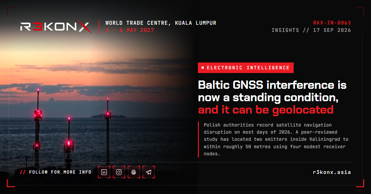
Polish authorities record satellite navigation disruption on most days of 2026. A peer-reviewed study has located two emitters inside Kaliningrad to within roughly 50 metres using four modest receiver nodes. The operational problem is shifting from avoidance to attribution.
A standing condition, not an event
Poland now records satellite navigation disruption on most days. The country's National Institute of Telecommunications reported interference on 63% of days as of 19 August 2026, following full-scale disruption on approximately 70% of days across May and June [1]. The institute assessed the source as external and linked to the activity of electronic warfare systems in the Baltic Sea region, and placed the main sources of interference and spoofing in the Kaliningrad region [1].
Lithuanian officials described spoofing infrastructure in Kaliningrad growing from a few antennas at the start of 2025 to several dozen, with falsified signals reaching up to 450 kilometres [1]. The Polish minehunter ORP Albatros was jammed during Baltic operations on 21 August 2026 [1]. Affected sectors extend past aviation and shipping to smartphone navigation, shared urban mobility fleets and commercial drone operations [1].
This is a different problem from the one European regulators framed in 2022. The question is no longer how crews handle an interference encounter, but how operators function where positioning is unreliable as a baseline condition.
What the measurement record shows
IATA's safety risk assessment records GPS signal loss rising from 28.1 per 1,000 flights in 2021 to 60.1 per 1,000 flights in the first half of 2025: over one million loss events across approximately 24.6 million flights between August 2021 and June 2025 [2]. Recovery frequently exceeds 30 minutes [2].
The FAA's GNSS Interference Resource Guide, version 1.1, released March 2026, cites a 65% increase in GNSS loss per 1,000 flights in the first half of 2024 against 2023, and names Nicosia (5,655 incidents), Tel Aviv (3,228) and Cairo (2,375) as the most affected flight information regions [3]. The EASA-EUROCONTROL action plan gives a third measure: approximately 220% growth in GPS signal loss events between 2021 and 2024, and about 1,500 flights a day affected by spoofing by August 2024 [4][5].
These figures are not consistent because the baselines are not. Per-flight rates, absolute event counts and daily affected-flight estimates measure different things over different periods. Quote the metric with the growth figure.
The OPSGROUP workgroup traced the same 1,500-flights-per-day figure to a rise from 300 in the first half of 2024, and found 70% of nearly 2,000 surveyed crew rating their concern very high or extreme [6]. That survey is self-selecting, which limits what the concern figures support.
Geolocation is now within reach
The more consequential development is on the detection side. Benon Gattis, Jaroslaw Cydejko and Dennis Akos published a real-time time-difference-of-arrival system in GPS Solutions in March 2026, built from four nodes, each combining an Ettus B200 software-defined radio, a u-blox F9T receiver and networked compute [7].
Across roughly three months of observation near the Gulf of Gdansk between April and June 2025, the system located two emitters, both inside Kaliningrad: a spoofer near the coast and a jammer near Baltiysk military harbour, approximately 100 kilometres from the northernmost receiver [7]. Reported accuracy was around 50 metres, with error of roughly 30 metres per node pair, and localisations computed in under ten minutes even under wideband jamming [7].
The authors state the limits plainly. Accuracy depends heavily on receiver geometry; nodes clustered along one coast produced better north-south than east-west precision. They hypothesise sea ducting and refraction rather than clean line-of-sight propagation, which complicates range calculation. Multipath was not modelled [7].
The spoofing they characterised repeatedly rebroadcast the same four-to-five-minute GPS L1 C/A recording from 15 April 2025, producing circular position drift rather than a static jump. Jamming covered L1, L2 and L5; spoofing only L1 C/A [7]. That asymmetry is itself a detection opportunity.
Spire Global reached a different conclusion from space-based radio frequency detection combined with ADS-B analysis across more than 300 aircraft, attributing one October 2024 event to at least one moving vessel in international Baltic waters rather than a fixed shore site [8]. Both can hold. The emitter set is mixed, and characterising it no longer requires a national technical capability.
What the regulators have asked for
EASA and EUROCONTROL published a joint action plan on 26 March 2026: 22 actions across four workstreams covering human performance, organisational management, aircraft design and infrastructure [5][4]. ICAO phraseology updates and ANSP monitoring tool requirements sit in 2026, national contingency plans in 2027, and multi-mode receiver restoration in 2028 [4][5].
Aircraft-resident spoofing and jamming detection is placed after 2030, with controlled reception pattern antennas, signal authentication and adaptive antenna standardisation at 2029 [4]. EASA is separately updating performance-based navigation rules before 2030 to permit conventional navigation backup during GNSS degradation [4].
EASA's safety information bulletin separates jamming and spoofing guidance because the operational responses differ [9]. For spoofing it asks crews to monitor estimated position uncertainty and to compare GNSS time against non-GNSS sources [9]. The bulletin also records that EASA does not consider this an unsafe condition warranting a Safety Directive, so the recommendations remain non-mandatory [9]. The July 2026 revision endorses Type B electronic flight bag applications displaying near real-time interference data [14].
EASA and IATA agreed a three-tier approach at a joint workshop: short-term incident information sharing, medium-term adaptation of certification requirements, and long-term EASA involvement in future satellite navigation system design [13]. IATA maps the hazard to three accident scenarios: controlled flight into terrain, mid-air collision, and runway safety events [2].
Maritime bodies are on a slower track. IALA favours R-Mode, which uses MF radio beacons and VDES transmissions already deployed in the sector [10]. A March 2026 GPS World roadmap argues terrestrial alternatives alone cannot meet global coverage needs, and records an 830% rise in United States seizures of illegal jamming equipment since 2021 [11].
What to do
- Treat conventional navigation as a live capability, not legacy infrastructure. EASA asks that ILS, DME and VOR are kept operational, and that any GNSS backup is not inoperative under the minimum equipment list before dispatch into affected areas [9]. The EUROCONTROL plan puts VOR, DME and TACAN optimisation at 2026 [4].
- Instrument the position cross-check. Monitoring estimated position uncertainty or actual navigation performance, and comparing the aircraft clock against an independent time source, are the two in-flight checks the FAA guide specifies [3].
- Report through the formal channel. FAA anomaly reporting expects aircraft type and registration, date, time and position, flight phase, altitude, receiver make and model, and operational consequence [3]. EASA asks for a special air-report at the time of the event [9].
- Consider local detection at fixed sites. The Gdynia work shows four modest nodes producing actionable geolocation [7]. An airport, port or critical facility can now answer where interference originates, not only that it is present.
- Separate the timing dependency from the positioning dependency. Corrupted GNSS time affects clocks, fuel computation and CPDLC message handling independently of navigation [9].
- Build exposure into risk models. IATA asks operators to model network exposure and track navigation degradation through safety performance indicators [2].
Domain view
The Baltic case has settled the question of whether GNSS interference is episodic conflict spillover or a standing feature of the electromagnetic environment. It is the second. The regulatory timelines run to 2029 and 2030 for the receiver-side measures that would matter most [4], which commits operators to years of degraded positioning as a normal condition rather than an exception.
The cost asymmetry is the structural problem. A spoofer that rebroadcasts a recorded signal is inexpensive and, on the evidence of the Kaliningrad emitter, not technically demanding. The aircraft-side answer is expensive and slow to certify. Detection is the one place the cost curve has moved toward the defender, and it moved in a university laboratory rather than a programme office.
For Malaysian and wider APAC operators the current hotspots are elsewhere: the eastern Mediterranean and Black Sea, the Russia-Baltic region, the India-Pakistan border, Iraq and Iran, and the Korean peninsula [12]. IATA already lists South Asia among emerging areas [2]. Contingency procedures, conventional approach currency and reporting discipline are cheaper to establish before a region is affected than during.
Sources
Every R3KONX article cites its primary material. 14 sources, in order of first citation. Links open the original publication.
- Phones, drones and ships running blind as GPS malfunctions across Poland Euronews · 2026-08-25
- Safety Risk Assessment - GNSS Interference, Version 5 IATA · 2025-07
- GPS/GNSS Interference Resource Guide, Version 1.1 US Federal Aviation Administration (AFS-400) · 2026-03-12
- European Aviation Action Plan for Ensuring Safe Operations during GNSS Interferences, Edition 1.0 EASA and EUROCONTROL · 2026-03-26
- EASA-EUROCONTROL GNSS Interference: 22 Actions in Europe Eurowaypoint · 2026-03-26
- GPS Spoofing: Final Report published by WorkGroup OPSGROUP · 2024-09-06
- Baltic sea GNSS jamming and spoofing emitter detection and localization in real-time using a time difference of arrival (TDOA) system GPS Solutions (Springer), Gattis, Cydejko and Akos · 2026-03-14
- GNSS interference report: Russia 2024/2025 - Part 1: Kaliningrad and the Baltic Sea Spire Global · 2025-06-27
- Safety Information Bulletin 2022-02R3: GNSS Outage and Alterations EASA · 2024-07-05
- GNSS Jamming and Spoofing: Navigating Challenges in the Baltic Sea IALA · 2024-09-12
- How to defeat harmful GPS/GNSS interference: A roadmap for action GPS World, Lisa Dyer · 2026-03-30
- US, Europe move on GPS spoofing and GNSS jamming threat AeroTime · 2026-04
- EASA partners with IATA to counter aviation safety threat of GNSS spoofing EASA · 2024-01-26
- EASA updates aircraft GNSS jamming and spoofing guidance, citing spike Runway Girl Network · 2026-07
Researched and written by the R3KONX Analysis Desk from the cited primary material, with AI assistance in research and drafting. Methodological caveat: the growth figures cited here are drawn from different baselines (per-thousand-flight rates, absolute event counts and daily affected-flight estimates) and are not directly comparable; the emitter geolocation results are a single peer-reviewed study with stated geometric and propagation limitations. Corrections to event@r3konx.asia.